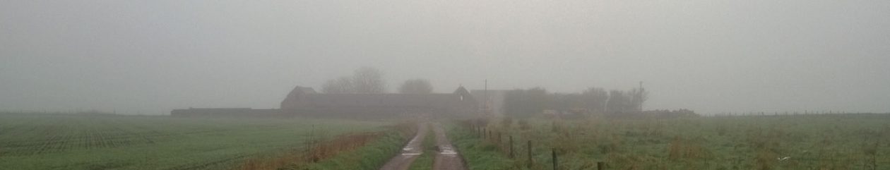
I occasionally check on public websites that show satellite imagery, looking for up-to-date views of our patch. I was looking on a NOAA site and saw, for the first time, that our handiwork has been viewed from space. Checking more widely, I saw that ESRI publish the same imagery and allows me to zoom in closer. The quality is not great (I think it is the 2.5m SPOT Imagery). Below, I have included 1) the current Bing Maps view which is good quality, but out of date and 2) the new image.


When was the newer image taken?
Having found the image I could see that our caravan was where it was first parked up, so was post March 2016, but that the last piece of concrete silage-pit wall, to the right of the steading, was still in place so was pre-September 2016. We had not started the foundations or drains and the hedging had greened up, so I speculated June give or take a month. When I checked the ESRI feed, it said May 2016, so I was just about right.
What can we see?
- Most obviously, the adjacent property has had all old buildings, including the farmhouse, demolished. The new holiday let is on the southern edge of that property and the over-large garage is very much in our line of site. We planted hedging and a number of trees right on our boundary and they will eventually screen most of it. We have not yet planted up the section closest to our west wing because we are still re-building the gable-end.
- The roof on the steading and the south-west gable-end have gone, but the concrete wall across the courtyard and broken hard standing are clearly visible.
- The wall to the right of the steading, in-line with the north wall, is still there. This the last of the walling that made up the silage pit.
- The concrete ramp that runs from the right of the bothy, down to the southern boundary, is still there but getting covered in vegetation.
- The black weed membrane, that we planted our hedging into, shows clearly. It runs from the north-west corner next to our track, across to the north-east corner then south to the silage-pit wall, but is distinctly paler than the rest because it has woodchip mulch on it. From there to the south east corner it is not covered and is darker. There is a gap along most of the southern boundary, but restarts before the south east corner. It then runs north, to the left of the bothy and stops at our biggest pile of granite. The top half of this run is also pale because we spread mulch on it.
- Our north-east corner is a neat right-angle, rather than the awkward bit that poked out into the field, that appeared on our plans. We gave up most of that, but gained a wedge down the east side – the old boundary ran right against the edge of the silage pit wall, it is now several m to the east.
